Indeed, handling Big Earth Observation Data (BEOD) posed tremendous challenges for the EO community. However, fortunately, the beginning of this new era is giving great momentum to this field, opening the floodgates for new opportunities and technologies to contribute to the development of earth observation. So, what exactly does the term “big” mean in earth observation? What are the consequences and challenges of big data we will face? And most importantly, what added value are we getting when entering such an era?
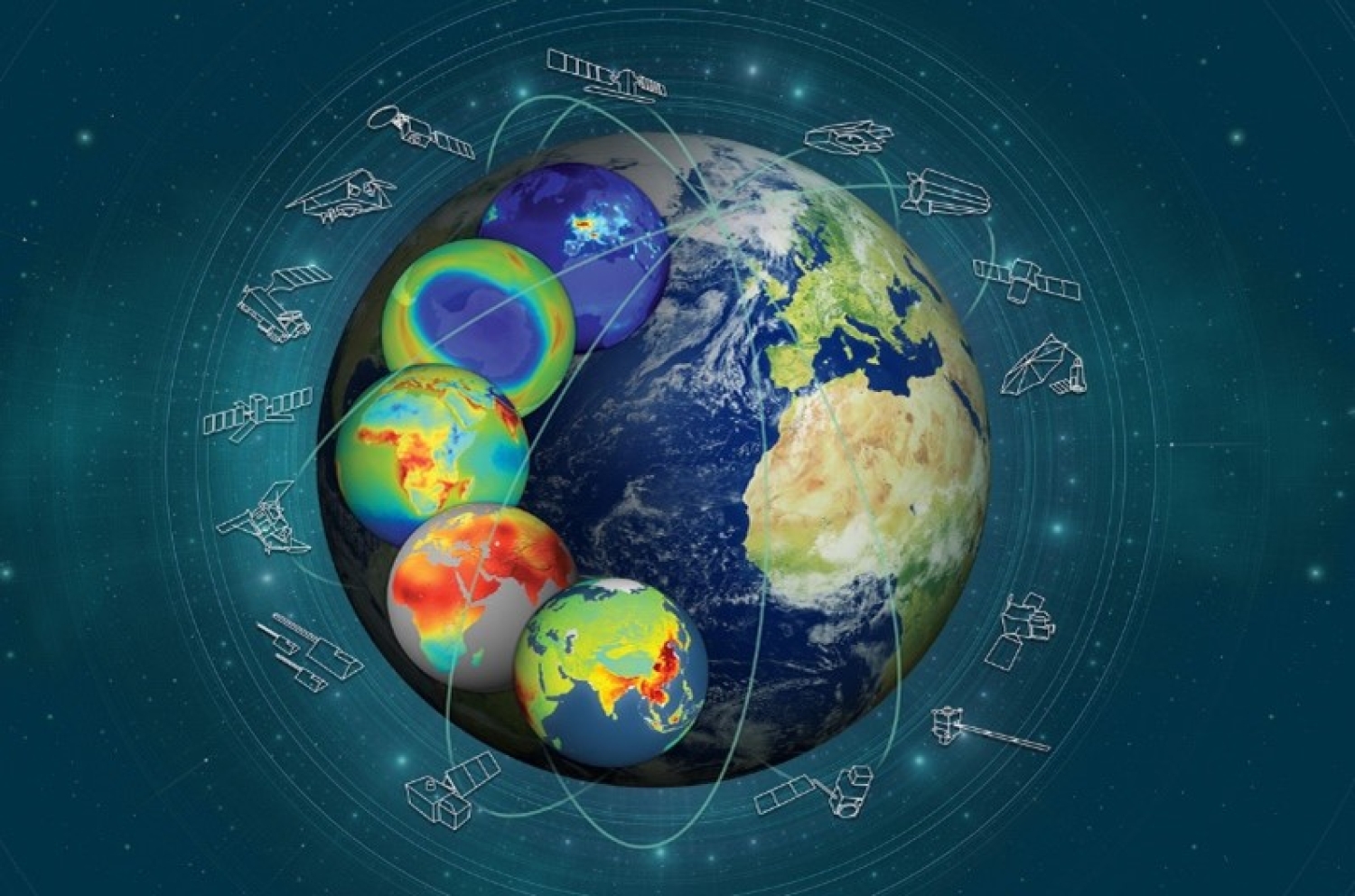
According to the United Nations Office for Outer Space Affairs (UNOOSA), approximately 7300 active satellites are orbiting Earth in April 2023. About 1168 are earth observation satellites, as confirmed by the Union of Concerned Scientists (UCS) in Jan 2023 [1]. More than 2,050 were registered in 2022 alone, about 15 percent of all the objects ever registered with the United Nations [2], breaking the annual record for the third time in succession [2]. Consequently, massive amounts of Earth observation data in Petabytes, if not exabytes, are being accumulated continuously at a global scale at an unprecedented fast rate to provide us with a full overview of our Earth system. This ultimately pushed Earth observations to step into the era of “Big data” and turn into Big Earth Observation Data.
Similar to the typical “Big Data” term, Big Earth Observation Data can be described using several characteristics that pose challenges for the EO community, including data owners, solution providers, and users seeking to address real-world problems in this field. Firstly, individuals or entities who own BEOD must consider three main factors that characterize Big Data: Volume, Velocity, and Variety [3]. In other words, they need to figure out where and how to store these massive volumes of data collected from various sources at different speeds and, most importantly, deliver it to end-users effectively. Secondly, those who provide solutions to manage BEOD face two big challenges, mainly Visualization and Vocabulary. In essence, the need to integrate diverse multisource and multitemporal EO data, often containing features that are invisible to the human eye, necessitates the development of advanced visualization tools to enhance the data analysis.Furthermore, given the complex nature of some EO data, different approaches are required to establish the guidelines for information extraction and data interpretation [4].
Moreover, users seeking to address real-world problems need to consider Veracity, which refers to the messiness and trustworthiness of data; Variability, referring to the unpredictable dynamic nature of EO resulting in an increasing number of inconsistencies; and Validity, arising from the absence of universal methods for consistent data quality that make the scientific community questions how valid the observations being used [3]. Last but not least, Value the treasure hiding inside the big data and the measure that will tell us how effective our approaches are in extracting the desired information at the right time to conceive the best decisions. Each characteristic represents a unique challenge that immediately triggers the need to let go of today’s traditional approaches and develop brand-new ones. Only then can these challenges be turned into opportunities.
On the other hand, Earth observation, impressively, is taking full advantage of the parallel new developments in the field of Big Data. Nowadays, thanks to technologies such as cloud computing and artificial intelligence, Earth observation can be seamlessly integrated with data from other domains to enhance the process of knowledge discovery. This opened the floodgates for a wide range of opportunities to take place, including and not limited to extensive global climate change analysis [5], sustainable urban planning and development assessment [6], intelligent agricultural systems for precision agriculture and food security, oceanic applications (e.g., ship detection, oil spill detection), water and air quality monitoring, global forest resources assessment, monitoring public health and population of diseases, ancient site discovery (archaeology), disaster and wildfire control, and even risk assessment in global insurance markets. These are only a few from the huge list of applications that became possible because of Big Data.
In conclusion, Earth observations will continue to expand. However, the traditional data handling approaches are no longer feasible due to the volume, velocity, variety, veracity, variability, validity, value, visualization, and vocabulary challenges in big earth observation data. Fortunately, the progress in Big Data provides promising avenues to overcome these challenges and turn them into great opportunities that can be applied in various disciplines, eventually leading us to understand the whole earth system better.
- UCS Satellite Database (no date) Union of Concerned Scientists. Available at: https://www.ucsusa.org/resources/satellite-database/ (Accessed: 31 October 2023).
- Annual report 2022 - UNOOSA. Available at: https://www.unoosa.org/documents/pdf/annualreport/UNOOSA_Annual_Report_2022.pdf (Accessed: 31 October 2023).
- Laney, “3D data management: Controlling data volume, velocity and variety,” Gartner, Tech. Rep., Feb. 2001.
- Nguyen, N.T. (2013) Transactions on computational collective intelligence. Berlin: Springer.
- Guo, H.-D., Zhang, L. and Zhu, L.-W. (2015) ‘Earth observation big data for Climate Change Research’, Advances in Climate Change Research, 6(2), pp. 108–117. doi:10.1016/j.accre.2015.09.007.
- Prakash, M. et al. (2020) ‘Open earth observations for Sustainable Urban Development’, Remote Sensing, 12(10), p. 1646. doi:10.3390/rs12101646.